RF planning best practices requires a seamless manner in which files can be transferred within other solutions for consistency
As such SignalPro has built in functionality that allows for many different geographic file formats. These can be imported within the Map Layers menu.
Utilizing the formats/steps below is considered best practice for bringing complex geographic files into SignalPro.

Michael please can you add screen shot of a file being imported and in SP map
MapInfo MIF and MID, or BNA, are our preferred formats for loading large/complex geometries into SignalPro.
KML, SHP, and TAB files are also supported (but support is limited due to on-going 3rd party changes)
Most algorithms and automations within SignalPro require a BNA file
--Michael please define which - this is a very vague comment
EDX recommends converting all GIS data files into MapInfo MIF and MID format first before loading into SignalPro.
To do this, follow the steps below:
Open in MapInfo
Disaggregate
Save as MIF + MID
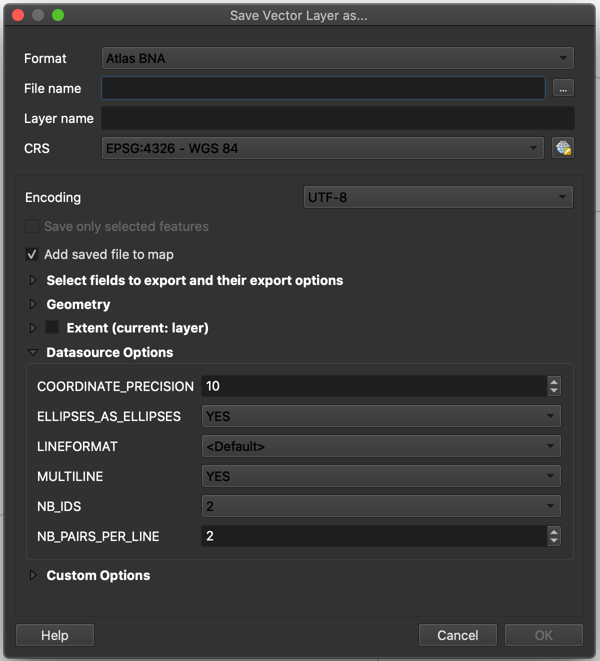
If a BNA conversion is necessary, convert the MIF and MID to BNA using QGIS, a free software available for download: https://www.qgis.org/en/site/
To convert the file, follow the steps below:
Open MIF and MID in QGIS
Export to BNA: From Layers panel, select layer → right click → Export → Save Feature As → Format: “Atlas BNA”
Michael Lauber please can you add pictures of it in signalpro after conversion