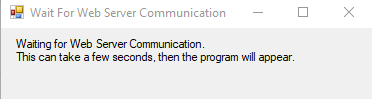
After launching the Tile Selector this dialogue box will appear, please wait
Then another dialogue box will appear with a quick start guide
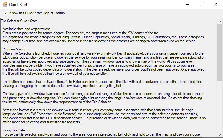
The application will open once you exit the quick start guide
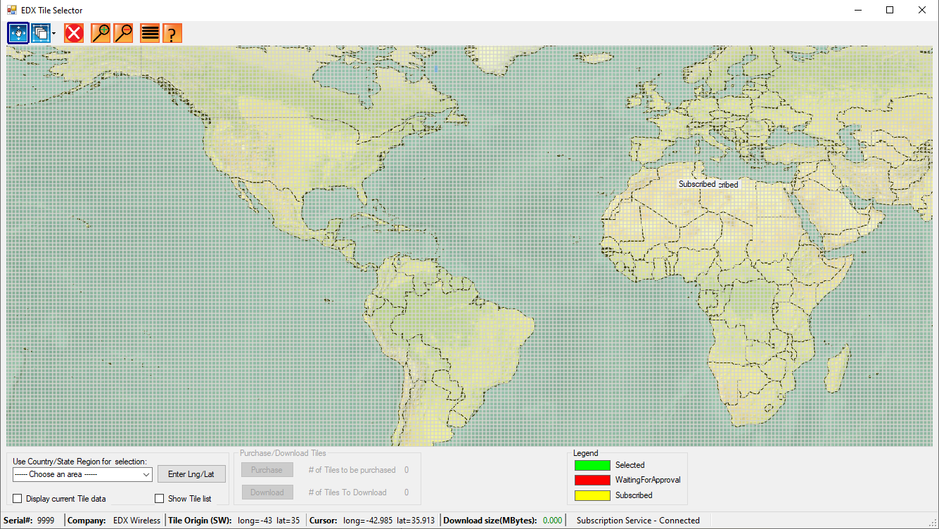
To select tiles you can either click on them directly on the map or you can use the country/state selection drop down list in the bottom left corner of the tool.
To the right of the country/state selection drop down list there is an option to enter Lng/Lat
Here you can enter the Longitude and Latitude of your coordinates of interest
Please Note: You can only enter whole numbers and you must enter the longitude first then the latitude and separate them with a comma
Example:
For Latitude 44.0521 N Longitude 123.0868 W
You will enter: -123,44
If you wish to clear the tiles selected navigate to the button bar at the top of the screen and choose De-Select All Tiles button

Please Note: You cannot download more than 12 GB at a time
After your tiles have been selected navigate to the button bar at the top of the screen and choose dataset selection button in order to choose the tile resolution

This dialogue box will appear
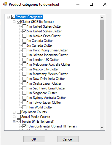
Please expand Clutter and Terrain then choose the option that correlates to the tiles you selected previously
Once all selections have been made click either the “purchase” or “download” button
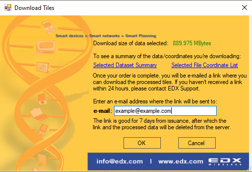
If you choose download, a dialogue box will appear where you will enter your email address and a download link to the tiles will be sent to you.
Article choose the correct tiles in the Tile Selector?